Fingal Bomie
Edit SpotAbout
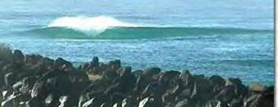
Most people think it's a sand bank but when I hit the bottom I realised it was rock.
Location
Loading...Access
Go to the Fingal side of the tweed river and paddle out to about were the groyne stops. There should be a wave.
| Walk | Instant access (<5 min) |
|---|---|
| Public access | Yes |
| 4x4 required | No |
| Boat required | Yes |
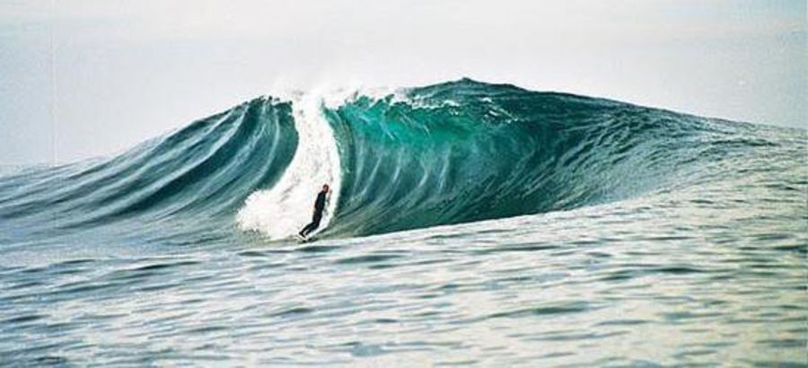
Wave Characteristics
| Type | Reef (rocky) |
|---|---|
| Direction | Right and left |
| Bottom | Boulders |
| Power | Hollow, Fast, Powerful |
| Frequency | Sometimes breaks (50 days/year) |
| Normal length | Short (<50m) |
| Good day length | Normal (50 to 150m) |
Ideal Conditions
| Wind direction | Unknown |
|---|---|
| Swell direction | Unknown |
| Swell size | 3ft-5ft - 10ft+ |
| Tide | Don't know |
| Tide movement | Don't know |
Crowd
| Week | Empty |
|---|---|
| Weekend | Empty |
Dangers
Urchins, Rips / undertow, Rocks, Sharks
Videos
None
Nearby spots
Insides
0.05 miles away
| Direction: | Right and left |
| Bottom: | Sandy |
| Frequency: | Sometimes breaks (50 days/year) |
end wedge
0.28 miles away
| Direction: | Right and left |
| Bottom: | Sandy with rock |
| Frequency: | Sometimes breaks (50 days/year) |
Outsides
0.32 miles away
| Direction: | Left |
| Bottom: | Reef (coral, sharp rocks etc.) with sand |
| Frequency: | Regular (100 days/year) |