Governors Island
Edit SpotAbout
No spot description.
Location
Loading...Access
go to bicheno, a bit north of the Freycinet National Park.
| Walk | Instant access (<5 min) |
|---|---|
| Public access | Yes |
| 4x4 required | No |
| Boat required | Yes |
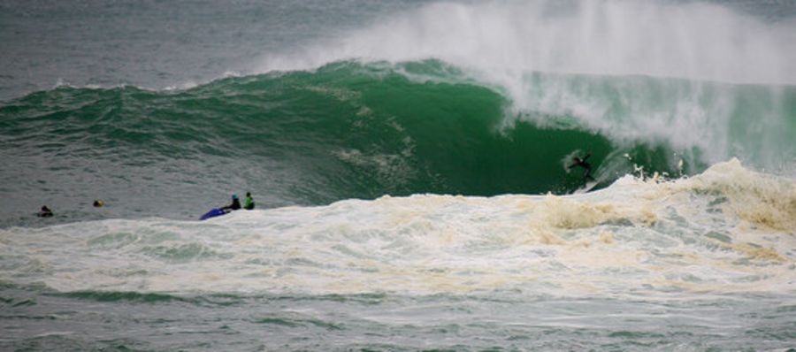
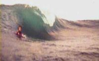
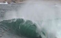
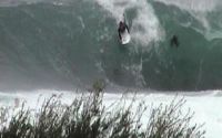
Wave Characteristics
| Type | Reef (rocky) |
|---|---|
| Direction | Right and left |
| Bottom | Reef (coral, sharp rocks etc.) |
| Power | Hollow, Fast, Powerful, Slab |
| Frequency | Regular (100 days/year) |
| Normal length | Short (<50m) |
| Good day length | Normal (50 to 150m) |
Ideal Conditions
| Wind direction | West |
|---|---|
| Swell direction | SouthEast, East, NorthEast |
| Swell size | 3ft-5ft - 16ft and over |
| Tide | Don't know |
| Tide movement | Don't know |
Crowd
| Week | Empty |
|---|---|
| Weekend | Few surfers |
Dangers
Urchins, Rips / undertow, Rocks, Localism, Sharks
Videos
None
Nearby spots
Scamander River Mouth
1.13 miles away
| Direction: | Right and left |
| Bottom: | Sandy with rock |
| Frequency: | Regular (100 days/year) |
Carparks
8.38 miles away
| Direction: | Right |
| Bottom: | Reef (coral, sharp rocks etc.) with sand |
| Frequency: | Sometimes breaks (50 days/year) |
Friendly Beaches
28.48 miles away
| Direction: | Right |
| Bottom: | Sandy with rock |
| Frequency: | Don't know |