Manuel Antonio
Edit SpotAbout
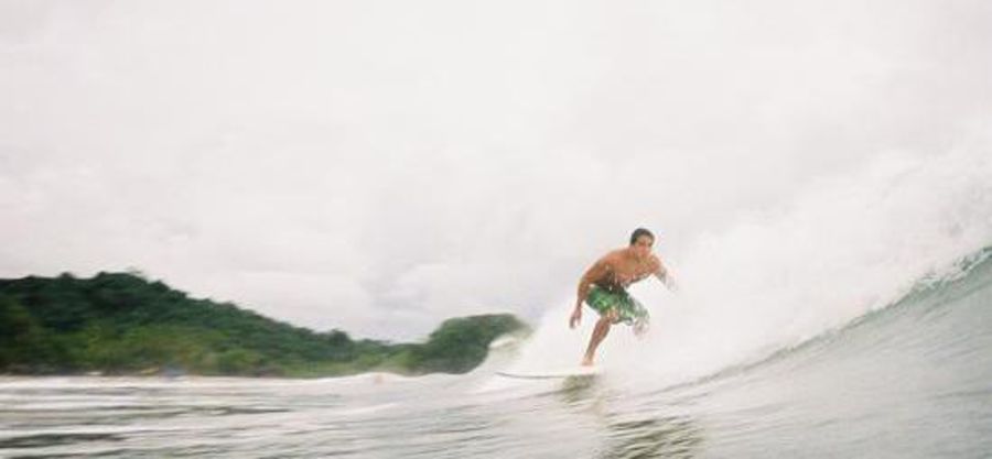
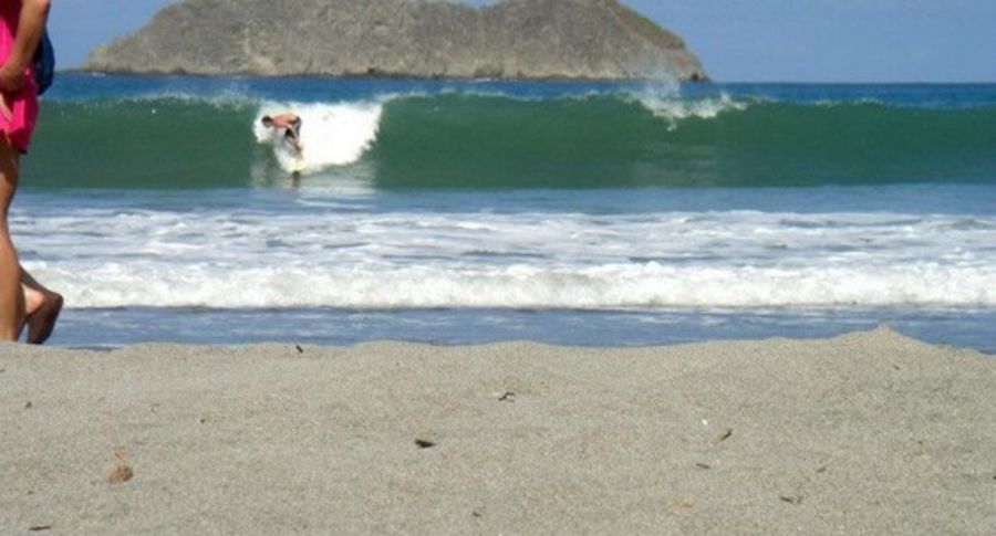
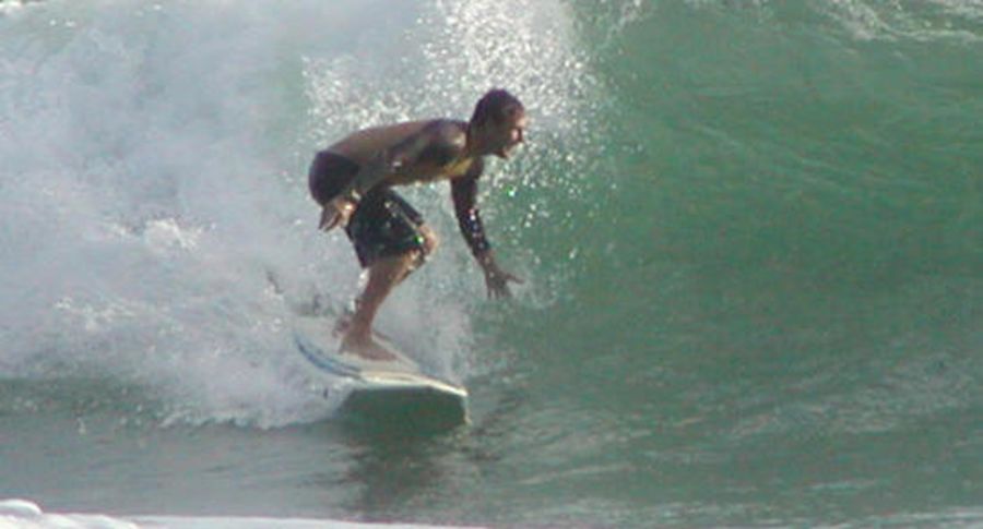
Good international meeting point for all kinds. Girls come in from Europe & the states. Good locale for new surfers to get their feet wet as well as a good place to meet young traveler types.
Additional Info:
It is only good at high tide, which is only about 3 hours a day, so it's usually a bit crowded. The locals may give you the stink eye, but they're all bark and no bite.
Do not go during rainy season (Sept-December?).
Location
Loading...Access
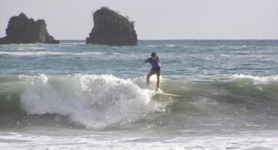
Continue to travel south after going through Quepos and over the mountain until you reach Manuel Antonio beach. The road parallels the beach for a couple hundred meters.
You can usually rent boards here and there are restaurants, hotels etc. all right here. This is also the entrance to Manuel Antonio national park, which is a great chill place to hike and see lots of monos (Monkeys).
| Walk | Instant access (<5 min) |
|---|---|
| Public access | Yes |
| 4x4 required | Yes |
| Boat required | No |
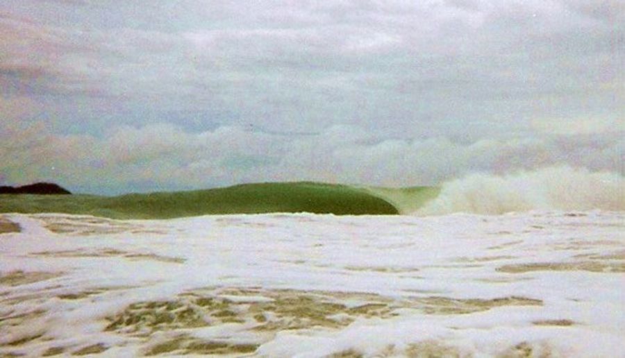
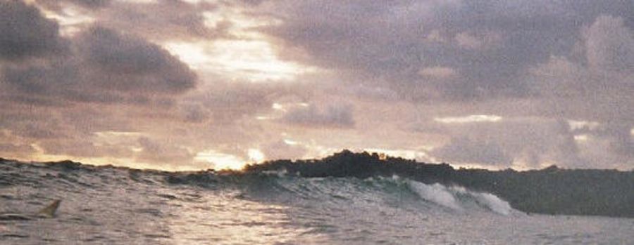
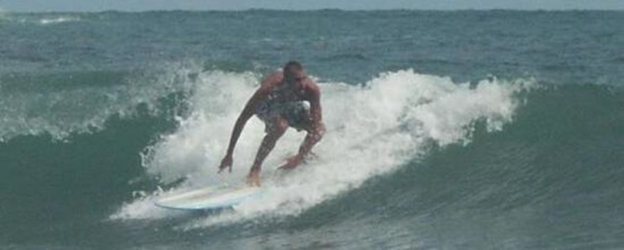
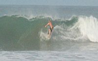
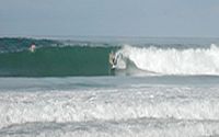
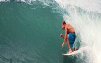
Wave Characteristics
| Type | Beach break |
|---|---|
| Direction | Right and left |
| Bottom | Sandy |
| Power | Ordinary, Fun, Powerless |
| Frequency | Don't know |
| Normal length | Short (<50m) |
| Good day length | Normal (50 to 150m) |
Ideal Conditions
| Wind direction | East |
|---|---|
| Swell direction | SouthWest, South |
| Swell size | 3ft-5ft - 16ft and over |
| Tide | Mid and high tide |
| Tide movement | Don't know |
Crowd
| Week | Few surfers |
|---|---|
| Weekend | Crowded |
Dangers
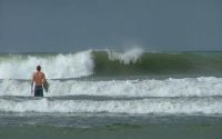
Rips / undertow
Videos
None
Nearby spots
1.04 miles away
| Direction: | Right and left |
| Bottom: | Sandy |
| Frequency: | Very consistent (150+ days/year) |
20.30 miles away
| Direction: | Right and left |
| Bottom: | Sandy with rock |
| Frequency: | Regular (100 days/year) |
21.52 miles away
| Direction: | Right and left |
| Bottom: | Sandy |
| Frequency: | Very consistent (150+ days/year) |