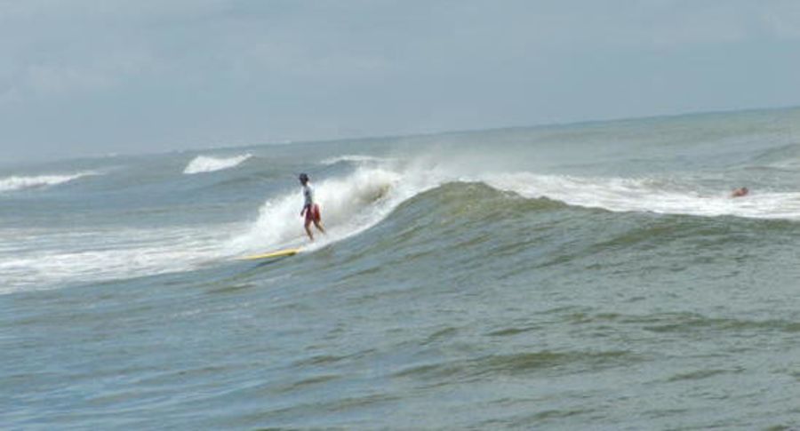
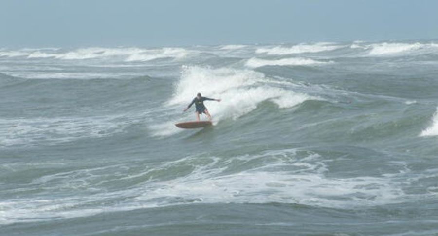
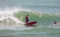
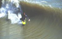
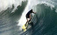
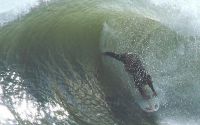
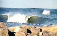
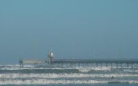
Packery Channel
Edit SpotAbout
locals are VERY VERY VERY HARSH !
Additional Info:
park car on beach
Location
Loading...Access
There are two ways to acess this spot . You can go from Port Aransas on hwy.361 south about 15 miles and you will see two bridges go across both and there is a beach access. 2nd way:go from Corpus Christi across JFK causeway , then north on hwy.361 before the Packery Channel bridge there will be a beach access.
| Walk | Instant access (<5 min) |
|---|---|
| Public access | Yes |
| 4x4 required | Yes |
| Boat required | No |
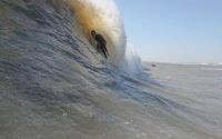
Wave Characteristics
| Type | Beach break |
|---|---|
| Direction | Right and left |
| Bottom | Flat rocks with sand |
| Power | Unknown |
| Frequency | Don't know |
| Normal length | Normal (50 to 150m) |
| Good day length | Long (150 to 300m) |
Ideal Conditions
| Wind direction | SouthWest, South, SouthEast, East |
|---|---|
| Swell direction | NorthWest, SouthWest, South, SouthEast, East, NorthEast |
| Swell size | Less than 3ft - 12ft |
| Tide | Don't know |
| Tide movement | Don't know |
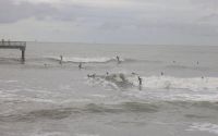
Crowd
| Week | Ultra crowded |
|---|---|
| Weekend | Ultra crowded |
Dangers
Rips / undertow, Localism, Sharks
Videos
None
Nearby spots
Corpus Christi
0.07 miles away
| Direction: | Right and left |
| Bottom: | Sandy |
| Frequency: | Regular (100 days/year) |
Fish Pass Jetties
2.58 miles away
| Direction: | Right and left |
| Bottom: | Sandy |
| Frequency: | Regular (100 days/year) |
Bob Hall Pier
4.69 miles away
| Direction: | Right and left |
| Bottom: | Sandy |
| Frequency: | Regular (100 days/year) |