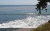
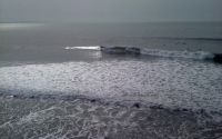
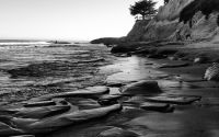
Seacliff Beach
Edit SpotAbout
No spot description.
Location
Loading...Access
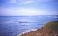
Seacliff State Beach: exit Cabrillo Highway (1) and head south on State Park Drive. The beach has a pedestrian pier. At the end of the pier is the wreck of the SS Palo Alto - an WWI tanker ship constructed of concrete, which now serves as an artificial reef.
| Walk | Instant access (<5 min) |
|---|---|
| Public access | Yes |
| 4x4 required | Unknown |
| Boat required | Unknown |
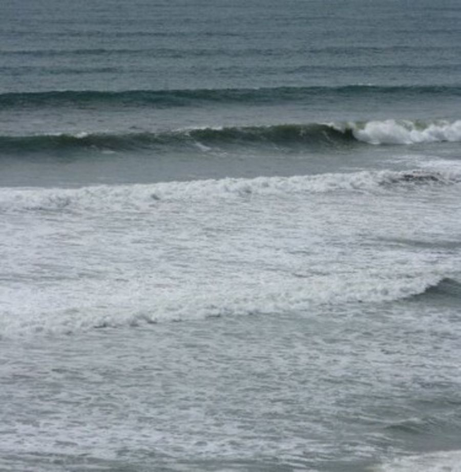
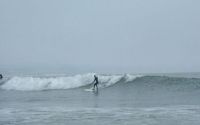
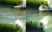
Wave Characteristics
| Type | Beach break |
|---|---|
| Direction | Right and left |
| Bottom | Sandy |
| Power | Ordinary |
| Frequency | Rarely breaks (5 days/year) |
| Normal length | Short (<50m) |
| Good day length | Short (<50m) |
Ideal Conditions
| Wind direction | Don't know |
|---|---|
| Swell direction | NorthWest, West, SouthWest, South |
| Swell size | 3ft-5ft - Don't know |
| Tide | Don't know |
| Tide movement | Don't know |
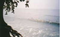
Crowd
| Week | Empty |
|---|---|
| Weekend | Few surfers |
Dangers
None
Videos
None
Nearby spots
Santa Cruz - 41st privates
1.87 miles away
| Direction: | Right |
| Bottom: | Reef (coral, sharp rocks etc.) |
| Frequency: | Regular (100 days/year) |
Capitola jetty
2.53 miles away
| Direction: | Right and left |
| Bottom: | Flat rocks with sand |
| Frequency: | Regular (100 days/year) |
The Hook
2.92 miles away
| Direction: | Right |
| Bottom: | Flat rocks with sand |
| Frequency: | Sometimes breaks (50 days/year) |