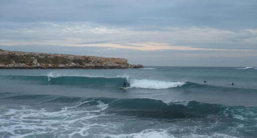
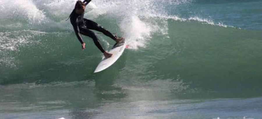
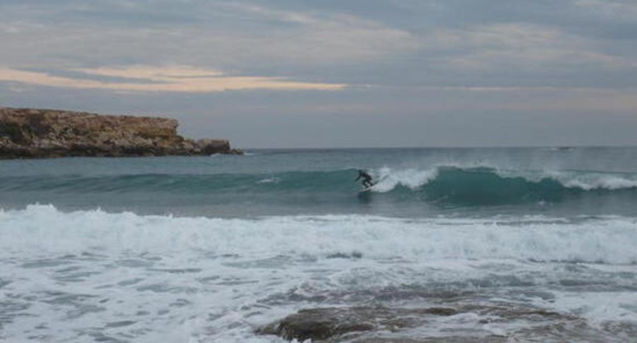
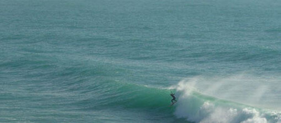
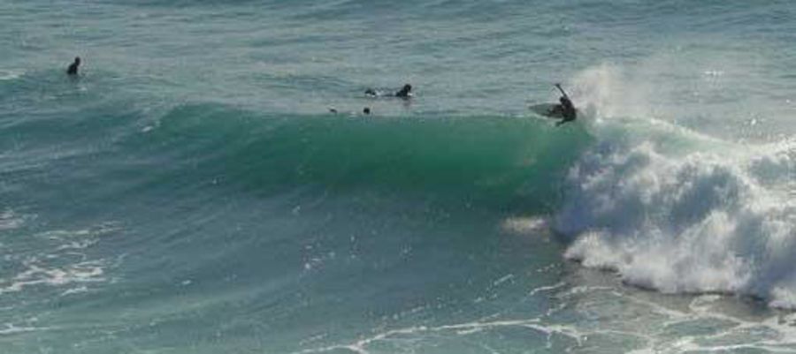
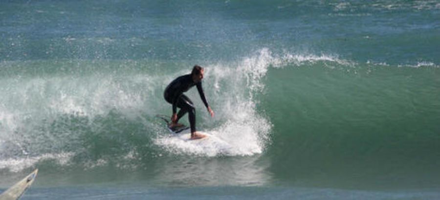
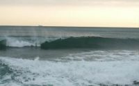
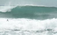
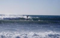
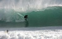
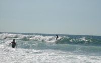
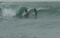
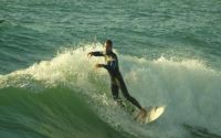
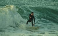
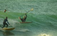
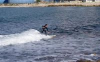
Tamaris
Edit SpotAbout
No spot description.
Location
Loading...Access
From Marseille you have to follow direction of Martigues by A55, exit Carry Cote Bleue, exit La Couronne, and then follow tamaris
| Walk | Instant access (<5 min) |
|---|---|
| Public access | Yes |
| 4x4 required | Unknown |
| Boat required | Unknown |
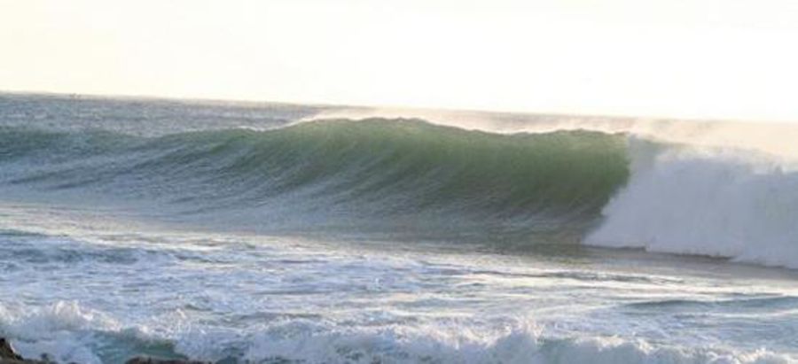
Wave Characteristics
| Type | Reef (rocky) |
|---|---|
| Direction | Right and left |
| Bottom | Reef (coral, sharp rocks etc.) |
| Power | Unknown |
| Frequency | Regular (100 days/year) |
| Normal length | Short (<50m) |
| Good day length | Normal (50 to 150m) |
Ideal Conditions
| Wind direction | NorthWest, West, South, SouthEast, East |
|---|---|
| Swell direction | SouthWest, South, SouthEast, East |
| Swell size | Less than 3ft - 8ft+ |
| Tide | Don't know |
| Tide movement | Don't know |
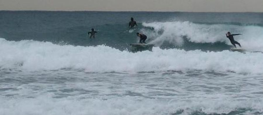
Crowd
| Week | Few surfers |
|---|---|
| Weekend | Crowded |
Dangers
Rocks
Videos
None
Nearby spots
L'Hermitage
1.79 miles away
| Direction: | Right and left |
| Bottom: | Flat rocks |
| Frequency: | Sometimes breaks (50 days/year) |
Marseille - La digue de la pointe rouge
3.48 miles away
| Direction: | Right |
| Bottom: | Don't know |
| Frequency: | Very consistent (150+ days/year) |
Les Laurons - centrale EDF
15.28 miles away
| Direction: | Right and left |
| Bottom: | Flat rocks |
| Frequency: | Regular (100 days/year) |