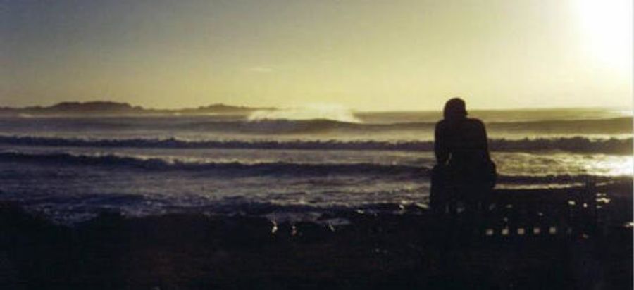
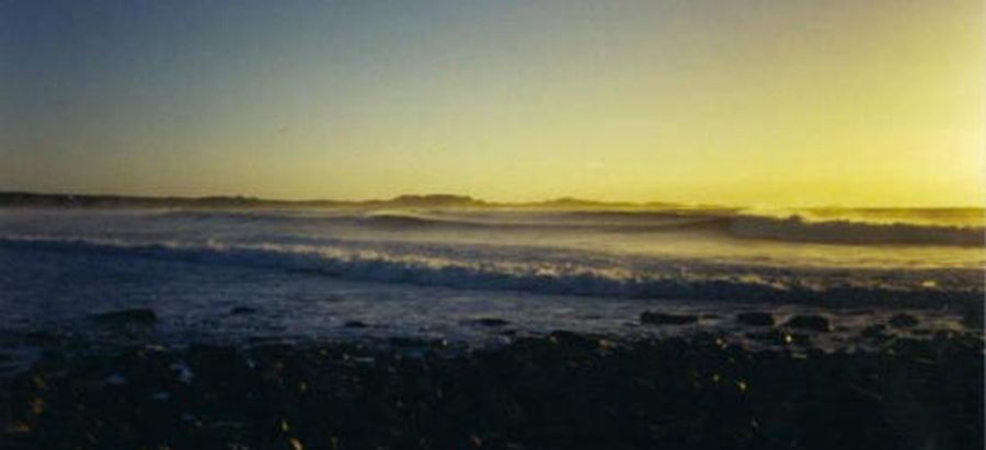
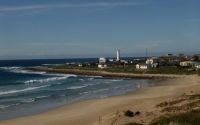
Seal Point
Edit SpotAbout
NB. You're the visitor, respect the locals & their break!
Half way down the break at low tide a rock ledge called "Full Stop" will emerge, careful!
Location
Loading...Access
Drive from J-Bay to Humansdorp on the N2
In Humansdorp, follow the signs to Cape St. Francis / St. Francis Bay
Follow that road til you hit the coast and reach a parking lot at the Seal Point Lighthouse.
Get out, suit up, paddle out, dont snake anyone, RIP!
| Walk | Instant access (<5 min) |
|---|---|
| Public access | Yes |
| 4x4 required | Unknown |
| Boat required | Unknown |
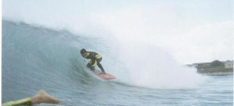
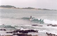
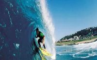
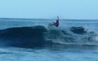
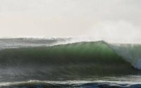
Wave Characteristics
| Type | Point break |
|---|---|
| Direction | Right |
| Bottom | Flat rocks |
| Power | Hollow, Fast, Powerful |
| Frequency | Very consistent (150+ days/year) |
| Normal length | Normal (50 to 150m) |
| Good day length | Very Long (300 to 500m) |
Ideal Conditions
| Wind direction | NorthWest, West |
|---|---|
| Swell direction | West, SouthWest, South, SouthEast, East |
| Swell size | Less than 3ft - 10ft+ |
| Tide | Mid and high tide |
| Tide movement | Rising and falling tides |
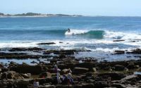
Crowd
| Week | Empty |
|---|---|
| Weekend | Few surfers |
Dangers
Urchins, Rocks, Sharks
Videos
None
Nearby spots
Sixty Nines
1.29 miles away
| Direction: | Right and left |
| Bottom: | Reef (coral, sharp rocks etc.) with sand |
| Frequency: | Very consistent (150+ days/year) |
Cape Saint Francis
1.90 miles away
| Direction: | Right |
| Bottom: | Sandy |
| Frequency: | Very consistent (150+ days/year) |
Ducks
1.91 miles away
| Direction: | Right and left |
| Bottom: | Reef (coral, sharp rocks etc.) with sand |
| Frequency: | Very consistent (150+ days/year) |